Beschrijving
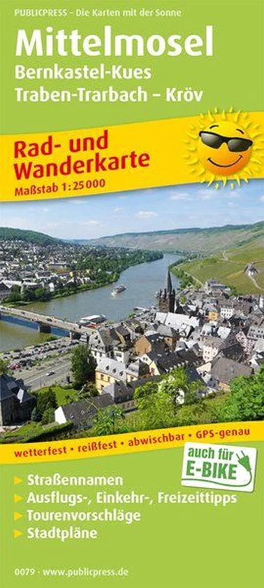
The Middle Moselle area is the subject of the cycling and hiking map.
The Middle Moselle area is the subject of the cycling and hiking map. The map not only shows cycling and hiking trails along the banks of the Moselle, but also high-altitude trails in the adjacent vineyards, which lead the steep stretches to a destination with marked vantage points. City maps of Bernkastel-Kues, Kröv and Traben-Trarbach complete the information (tips for excursions, gastronomy) on the wine villages on the back.